R
L
G
E
E
N
C
T
A

Open-weather Projects

October 2022 – ongoing
Project 12 / 47
next

On the first day of the COP26 climate conference in Glasgow, a network of people operating DIY satellite ground stations around the world will capture a collective snapshot of the Earth and its weather systems: a ‘nowcast’ for an undecided future. Tuning into transmissions from three orbiting (NOAA) satellites, members of the network collected imagery and submit field notes from their geographical locations. Combined, these contributions will generate a polyperspectival (from many angles) image of the earth.

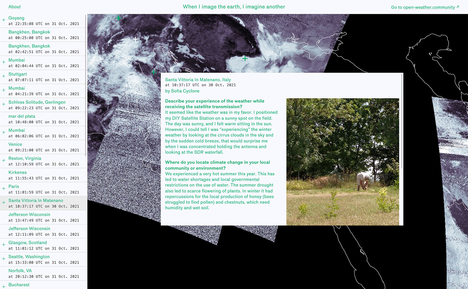
The website is a geographic overview of all locations, and visualizes the recordings captured in October 2021 including field notes, and photographs of groundstations. In 2023 these were compiled into an ebook for the digital ebook lender Library Stack.

In collaboration with open-weather (Sophie Dyer and Sasha Engelmann)
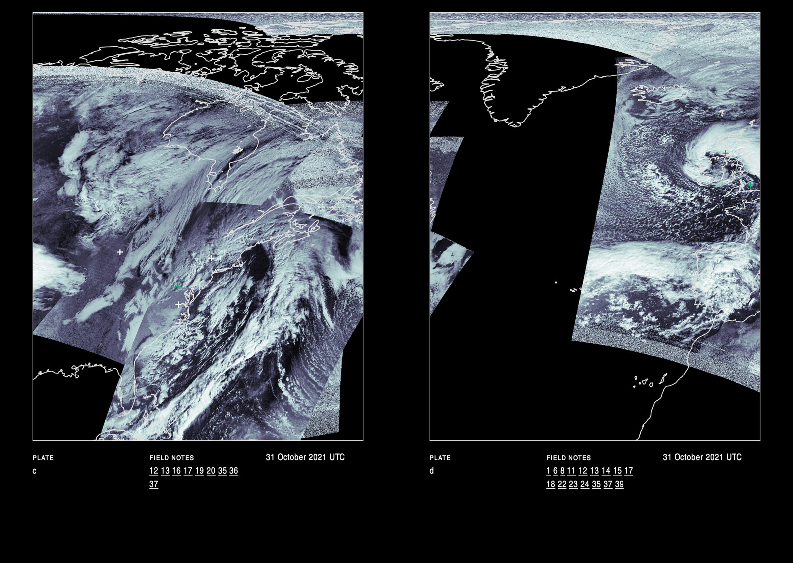
Open weather ebook interior spread showing two images of several ground station recordings of the earth
Ebook
In 2023 an ebook version of the nowcast was published by Library Stack. This book is an archive of the nowcast and a set of lenses on the materials that compose it. In the first section, readers are invited to move-through the nowcast in a series of plates at a similar resolution to the online artwork.
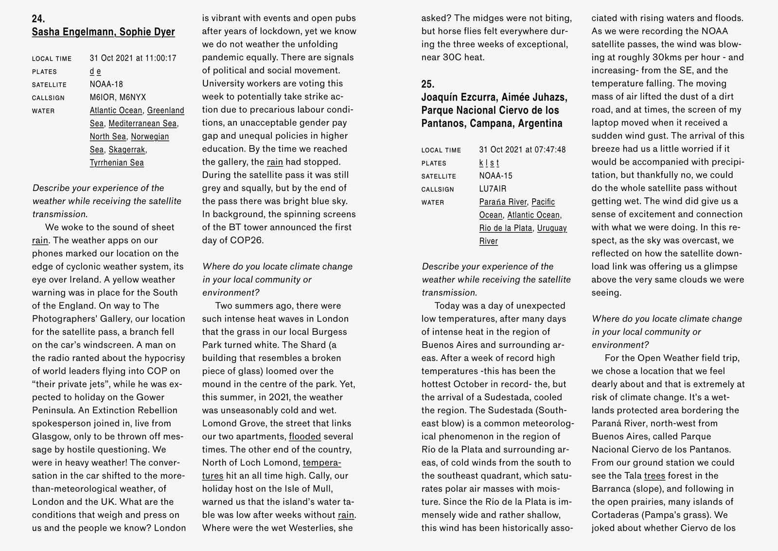
Open weather ebook interior spread showing Field Notes from multiple contributors in four columns of text.
The second section presents Field Notes submitted by contributors in places such as Buenos Aires, Mumbai and Berlin.
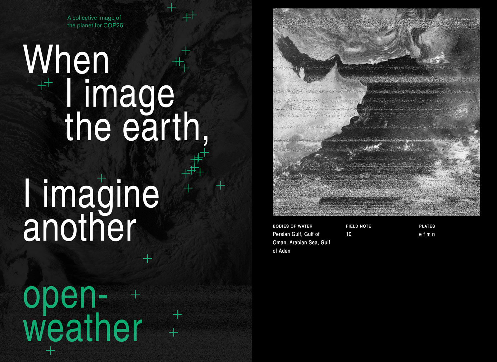
Pages from open weather ebook showing the title and a ground station image of the earth
Words for Climate and Bodies of Water are indices of the project that are less visible online. Bodies of Water captures the oceans, seas, rivers, lakes and glaciers that ground station operators ‘saw’ on the borders, and sometimes coursing through, their images.
Online Nowcast
An open-source methodology was developed to decode the network’s diverse recordings into twenty-six ‘snapshots’ of the earth on 31 October 2021. The images span in scale from that of a region to a country or part of a continent.